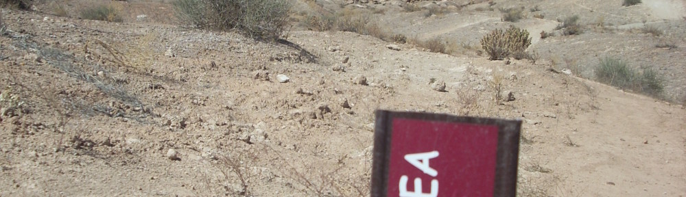
The Rockville Bench is closed to bikes until the BLM Travel Plan is complete. Please honor this closure. It is the only possible hope we have of gaining access permanently in the future.

From Joe’s guide to Zion National Park
The Rockville Bench will not be opened until the travel plan is signed and complete. In addition, there is no guarantee that the trail will be open to bikes in the final plan, or if it will even be recognized as an official trail at all. There are a variety of factors that will influence the final decision, the most notable being public comment.
The BLM has at least six months before the release of the draft travel plan for public comment. They have completed preliminary evaluation of 2,000 miles of motorized and non-motorized routes, and have roughly 200 miles remaining.
What can you do to help? Two things. 1) Keep reminding mountain bikers to stay away. We have had numerous incidents of individuals and groups violating the closure. This does nothing but damage to the reputation of all mountain bikers. 2) Offer meaningful comments once the draft plan is released.
We will post links here of the draft, on FB and via e mail with instructions on when to comment.
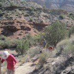
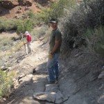
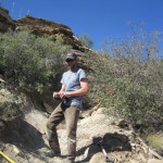
Unfortunately, the Rockville Bench is a perfect example of why illegal trail building is risky and stupid. By not considering land ownership and access, this was a disaster waiting to happen. Once the Anasazi Plateau subdivision began to be developed, mountain bikers, with a misplaced sense of entitlement, continued to ride there, ignoring private property and angering the residents. This eventually resulted in the closure and the problem continues today.
The BLM realizes that every user group has individuals that make everyone else look bad. Mountain bikers, ATV riders, climbers, and motorcyclists all have similar problems. But lets try to be the shining example, not the norm.
To counter this, please remind everyone that the Rockville Bench is off-limits to bikes–then ask them to join DMBTA.