Category: Trail Planning

Categories
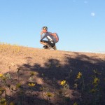
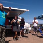
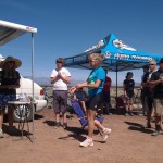
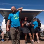
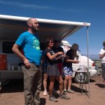
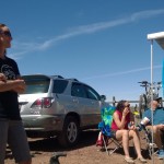
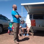
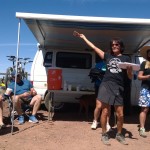
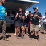
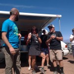
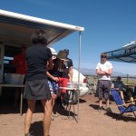
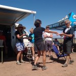
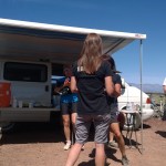
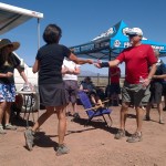
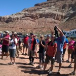
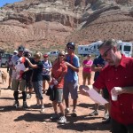
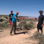
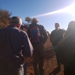
Red Hollow Build Day

2015 was a big year for Kane County and Kanab for taking steps towards developing mountain bike trails in the area. In May-June Joey Klein from IMBA’s Trail Solutions spent time in Kane county scouting the area for existing trails and for potential new trail sites. From that visit a 50 page trail concept plan was created and delivered to Kane County Commissioner Dirk Clayson and the Kanab BLM field office in November. Also in November the Kanab City Council voted in favor of developing two small areas of land near the city park for youth and family-friendly mountain progression zones; which may include a pump track and a flow trail. Joey Klein returned to Kanab in December and flagged approximately 17 miles of trail on both city and BLM land. The Kanab bicycle committee met and voted unanimously to create a formal bike club now called the Kanab Cycling Club (KCC).


2016 is looking very exciting for the area. The club’s first event will be to host a IMBA Trail Care Crew visit from January 28th-30th where they will be giving a presentation on club care and a workshop on trail building. This event is open to anyone interested in learning how to build trails. Check the DMBTA and KCC Facebook pages for information. Our goals for 2016 are to train and grow our group of trail building volunteers, grow our club membership, get the archeological clearances for the currently flagged trail and start building trail.

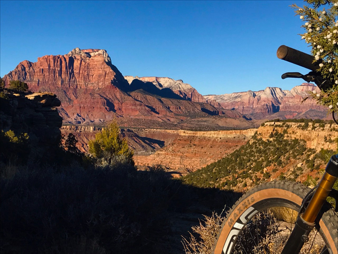
Photo by John Scarafiotti
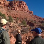
This has been a fantastic year for mountain biking in our area, and as the DMBTA Board it’s been very rewarding coordinating this great work. Remember, YOU are DMBTA. Give yourself a high five. This year started with a bang by the completion of two new trails in the Hurricane Cliffs Trail Network. Dead Ringer and More Cowbell are a huge success thanks to the help of many people including the BLM, ACE, Team Z, OTE, and a lot of volunteers. Dead Ringer is an intermediate flow trail with purpose built bike jumps, and More Cowbell is a much needed beginner trail with amazing vistas and easy climbs.
One my favorite memories from the past year involves finishing Dead Ringer. The trail was built from both ends, and as chance would have it, they came together at a very difficult rock outcropping. The ACE crew ran out of time and was not able to connect the trail segments leaving Dead ringer mostly finished except for the last few hundred feet. The local bikers were not going to let that stand and answered the call by organizing a crew connecting the segments. It was very hard work requiring a hammer drill and building a rock retaining wall. Nice work guys.
All of the new trails including Goosebumps and Cryptobionic were celebrated with a ribbon cutting ceremony with food from Sole Foods, and prizes from OTE. It was a great time. The local NICA kids the Flying Monkeys were also there representing the future of mountain biking.

While we were celebrating the newly completed trails, Bill Bergeron was busy laying out the next big project. We hope to get Wire Mesa done early this year, and it’s going to be a great trail. It will be a fast and flowing intermediate mesa trail. Sound Interesting? We also partnered with the City of St. George to design a new trail on Webb Hill. The trail will be an intermediate loop that will open up the ability to easily pedal to the top. Construction started a few months ago. Web Hill will be all volunteer built so come out and help make this trail a success.

In addition to the new construction, we hosted several maintenance days. Many of you showed up to help keep our amazing trails in tip top shape. As our trails get more recognition and use, they will also need more maintenance. 2016 will see many more trail maintenance days to keep everyone rolling with a smile.
We also organized a Trail Love trail maintenance work shop and had over forty people show up on a Friday night, and over 25 made it for the trail work Saturday. It just shows the love and commitment all of you have to mountain biking in our area. Lets keep this going and make 2016 an even better year.
Remember it’s all about trails. Join us!

 The image above is the development plan for the Green Valley Competitive Area or the Green Valley Race Course, as it is commonly referred to. This is a plan that was developed and approved years ago. We’ve known that we would be losing this section of land and some of the trails in the area at some point as it has been privately owned and waiting development. Unfortunately, that time has arrived.
The red patch work areas above are slated for home construction. The corridors in between will be open space. The developers plan calls for 30% open space as dictated by the city. There will be several roads. Most notable will be Plantations Drive which will run the length of the valley and become the main access for the area. The developers are hoping to begin excavation in February starting with the northern plots. The excavation will include the construction of a road to carry material being removed and deposit it in the southern area.
The most immediate effects of the development will be a disruption of the competitive use of the area. The developer has committed to working with race promoters for the first two races of the year that happen in March. True Grit and the Red Rock Rampage will be held as normal this year.
Races held later in the year will not be able to use the Green Valley Competitive Area due to the construction.
Immediate access for casual trail users could be effected but should be maintained throughout the process. The open space designated in the development plan is strategically placed to maintain trail access. The developers are touting the trail system as part of their sales pitch making it in their own best interest to maintain as many trails as possible while still selling plots for homes.
The DMBTA is actively working with the developers to ensure that access is maintained and to work with the BLM to realign any trails that are lost to maintain the integrity of the trail network. While their may be some short term loss of trail, we are confident that the overall trail experience will be improved. The development will limit motorized access and we have verbal commitment that the trails will be signed and have trailheads once construction is complete.
The biggest casualty is the loss of the bottom of the valley. The area has been used as a giant staging area for most of the races in the area and most notably for the NICA State Championships which have been the biggest mountain bike event in Utah. We are currently working with the BLM and Washington County to find a new location that can provide the staging and a race course to replace the Green Valley Competitive Area.
This is an ongoing process and we will keep you updated as things progress.
![]()
The BLM has released its Draft Resource Management Plan. This is big because it’s one step closer to the release of the TMP (Travel Management Plan) which will happen once the public comment period (Ending October 15th) has been closed and all decisions have been made. The RMP is important for us as mountain bikers because it is the broad strokes of what will be the end product of land use management in Washington County.
Since its release, I have been bombarded with questions from people worried about what the RMP means for public land access. As these questions turned into conversations, I have found there are many misconceptions at what the draft is saying, what it means for the public and how to go about influencing the end decision. So let’s start by clearing up some misunderstandings.
- There is no land grab. The land in question is already controlled by the BLM. The RMP is strictly the proposal for how the BLM will be managing that land. No land is changing hands.
- The BLM is not taking land away from the St. George Field Office. The St. George Field Office is the BLM. They are the ones that conducted the studies, mapped all of the existing routes in the county and created the four alternatives.
- No part of the RMP will negatively affect mountain biking. There is some language that on the outside can look suspicious, but I’ll explain that in depth below. There is actually a decision within the draft that states that the BLM is looking to create a world class non-motorized trail network. That’s us. We get more trails.
- There is no part of the RMP that will completely eliminate public access. I have heard this multiple times, especially in regards to Bull Valley, it’s simply not true.
Now that we have the myths out of the way, let’s talk about the stuff that really matters.
First, the RMP is a draft. The county is broken into different sections and each section is given four alternatives Alternative A leaves the land management the same meaning that there is no change. Yes, you read that correctly. This means that if Alternative A is chosen, nothing will change. Alternatives B, C and D all have varying levels of conservation versus access. Alternative B is the St. George Field Office’s preferred alternative as it is a good compromise between allowing access and recreation while conserving the beauty and natural resources of the area.
To influence the BLM’s decision regarding which alternative to implement, public comments will be accepted until October 15th (yes, that means you only have two days left). To voice your opinion, go here.
As far as mountain biking trails are concerned, the Resource Management Plan sets the stage for the release of the Travel Management Plan. The TMP will be the determining factor as to how many new trails we get in the next few years. The best alternatives for mtb trails will be based on the BLM implementing Alternative B for the RMP. This will set the stage for the possibility of constructing over 200 miles of new singletrack.
Yup, you should go comment now.
The one area that I am consistently getting questioned about is Bull Valley. Within the Plan there is some language that on the surface would appear that the RMP would be restricting mountain biking in this area. The last RMP had designated this area as a Mountain Biking Area which essentially required the BLM to treat mountain biking trails in the area the same as the do for OHV access. This means that within those areas mountain bikers were considered more closely to motorized travel than non-motorized. Of course, mountain bikes are non-motorized so this opens up more possibilities for us.
There are currently no mountain bike trails within the Bull Valley area and we have not proposed any. However, none of the alternatives in the RMP would block us from doing so in the future.
To sum things up, the RMP is good for us as it sets the stage for large scale trail development in the TMP. Again, the best option for mountain biking is Alternative B as it will set us up to implementing 200+ miles of singletrack once the dust settles and the TMP is released and implemented.
We highly encourage you to read through the documents and comment. All information and links are here.
Categories
Kanab Trail Feasibility Study

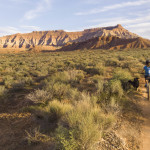
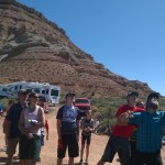
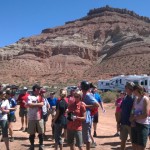
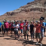
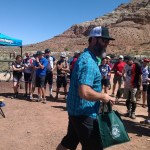
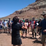
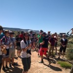
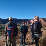
This past Monday Joey Klein from IMBA’s Trail Solutions rolled into Kanab Utah with the sole purpose of analyzing the area’s mountain bike trails opportunities. The fun part of digging and putting in trails is still a ways off, but as you can see from the above photo, the process always starts with maps. The Kanab Bike Committee gathered in the evening to make suggestions of areas and pinpoint places for Joey to explore over the next few days.

The other, slightly more fun, part of the process is getting boots on the ground and looking at what is really there. A small group gathered in earlier that afternoon to show some of the sights around town. This is where people’s eyes start to light up and the possibilities of where you can put a trail become more apparent.
Kane County holds promise for future trails. The area is beautiful and already has existing infrastructure needed to be a destination. The county is in favor of trails and has had employees at the meetings and involved with the entire process. Having a public officials interested in mountain bike trails and willing to help out is a huge advantage for trail advocates.
We will receive Joey’s final report later this week that will detail the areas surveyed and the possibilities of putting trails in Kane County.
Hopefully we see some new trails soon!
Build. Maintain. Ride.


Categories
Public Comment for new Trail
We are pleased to announce that we are in the final public comment period for another edition to the Hurricane Cliffs network.
The comment period is now open for public comment on a proposed expansion of the Hurricane Cliffs Trail network.
-Please send you comments in the next 15 days
-The Project is proposed for the follow purposes:
1) To provide expanded recreational opportunities for the increasingly popular activities of mountain biking, hiking, and trail running.
2) To provide additional looping opportunities of varying distances.
3) To alleviate trail congestion in areas with sensitive resources.
-Approximately 4 miles of trail would be constructed near the southern portion of the JEM trail to connect existing trails and provide additional looping opportunities. See the map on the BLM web sight at https://www.blm.gov/ut/enbb/index.php
-To comment simply call or email Dave Kiel at the BLM and state your support for the proposed Hurricane Cliffs trail expansion. Be sure to reference the Project Name. It’s a stronger comment if your reason for support is in-line with one or more of the “Project Purposes” listed above. Reason for support might include; to accommodate the increasing popularity of mountain biking in the area, to meet the demands of a growing population in the area, economic development, shorter loop options for beginners, longer loop options, improved safety, etc.
Project Name : Hurricane Cliffs Trail System Expansion
NEPA Log Number: DOI-BLM-UT-CO30-2014-0002-EA
Contact: Dave Kiel
Phone Number 1-435-688-3210
email: dkiel@blm.gov
mail: Saint George Field Office BLM
345 East Riverside Drive
St. George UT 84790
Categories
Spring Update

New Trails
The DMBTA designed two new trails for the BLM this past fall. Construction was scheduled to be completed this winter, but was delayed due to the snow and heavy rain we received. Fortunately, this was only a minor setback and we are happy to announce that not only are the trails open, but the tread has been compacted and the trails are as fun as we had hoped they would be.
The two new trails are Cryptobionic and Goose Bumps. These were designed as connector trails to allow for more variety in looping the JEM and the Hurricane Rim together. Goosebumps splits off of the JEM just after you emerge from the wash and hugs the mesa as it meanders its way to the water tank at the top of the unnamed singletrack. About half way through Goosebumps, Cryptobionic splits off and heads downhill. It hits Sheep Bridge Road where you re-connect with the JEM for a short distance. Cryptobionic splits off once again and heads to the bathrooms at the Hurricane Rim trailhead.
http://www.blm.gov/ut/st/en/fo/st__george/recreation/trails/hurricane_cliffs_trail.html
We are excited about these two trails and are working to bring you more singletrack in the future.

Gooseberry Trail Work Day
The DMBTA did its annual trimming of Gooseberry Mesa this past March. The trees and bushes on the mesa slowly overtake the trail. Each year the DMBTA goes out and trims things back so that you can ride the Goose without slamming into tree branches or being scratched up by scrub oak.
Clayton organized this trail day and we had plenty of people show up for us to split into multiple groups. Each group took a section of trail. It took each group about three hours to complete their portion, but we are happy with the results.

Zen Trail Work Day
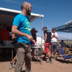
DMBTA, in conjunction with the local high school mountain biking team The Flying Monkeys, had a trail work day on Zen at the end of March. Kenny organized the event and guided the Monkeys around the Zen. They worked to clear loose rocks, maintain the single track lines that we all love and ensure that the trail stays rideable.
Travel Management Plan
The DMBTA was originally organized as a direct response to the announcement of the BLM’s travel management planning process. As we have mentioned, mountain bikers run the risk of losing single track as part of this process or, if we play it right, have the chance of gaining significant access and additional trails. This will all be determined this fall as the public comment period of the process begins. Essentially, the BLM has logged each and every trail and road in Washington County. They have also logged countless miles of proposed trails and routes. The entire county has been divided into several areas. Each area will have three options. A limited option where many trails are closed. A compromise or middle option that will see some closures. And the third option that opens up trails to motorized users. It will be our task to ensure that the BLM receives more comments from the mountain biking community than any other user group to ensure that we don’t lose any trails and hopefully gain the possible 200+ miles of proposed trails.
We strongly suggest you check back here for updates and follow us on Facebook as we post more regularly there, https://www.facebook.com/DMBTA.